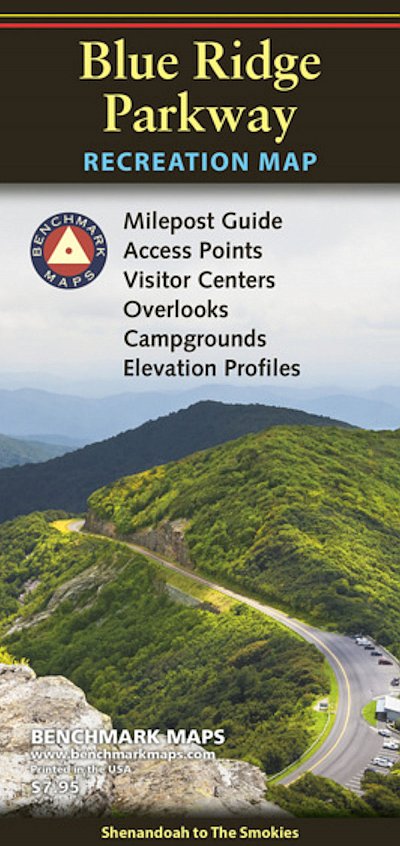
BLUE RIDGE PARKWAY RECREATION MAP
£8.99
|
|
Running 469 miles through the mountains of Virginia and North Carolina, the Blue Ridge Parkway connects Shenandoah National Park in the north to Great Smoky Mountains National Park in the south. The route is renowned for its many scenic overlooks, hiking trails, historical sites, and cultural landmarks, offering travelers a classic glimpse of the Appalachian Highlands.
The map shows the northern & southern halves of the parkway on two sides, each with extensive public land and road detail. The Milepost Guides list 200 attractions by mile marker, with descriptions and map grid references. The Elevation Profiles show the many ups and downs along the parkway, a very helpful planning tool if pulling a trailer.
In Stock
Usually dispatched within 24 hrs. Free delivery to UK for orders £25 and over.
£8.99
Cordee Code: CMA552
No of Pages: 2
Page Size: 106 x 225 mm
ISBN 10: 0783499248
ISBN 13: 9780783499246
Publisher: Benchmark Maps
Published Date: May 2020
Edition: May 2020
Binding: Sheet map (folded)
Weight: 55g
|


 Accommodation Guides