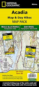
Acadia Map & Day Hikes Map Pack
2 map set
£24.95
|
|
Waterproof Tear-Resistant Topographic Maps.
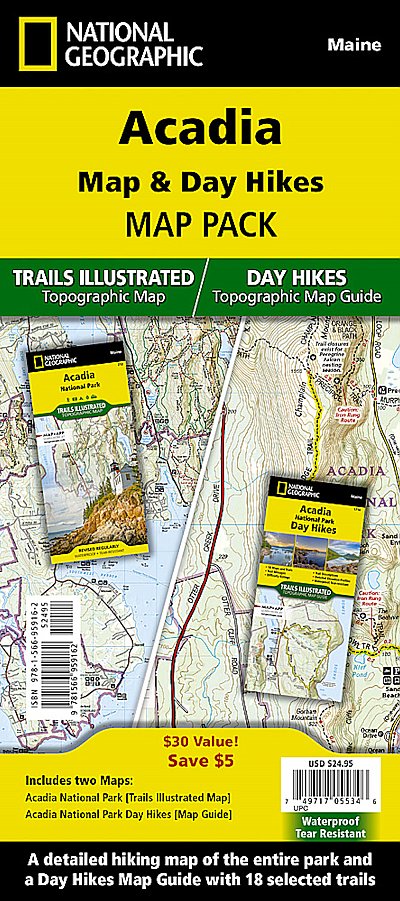
Acadia National Park protects the natural beauty of the highest rocky headlands along the Atlantic coastline of the United States, an abundance of habitats, and a rich cultural heritage. In addition to the unparalleled trail information, the map National Park Map also covers the historic carriage road system that covers large parts of Mount Desert Island. The map also includes the Schoodic Peninsula and Isle Au Haut.
The Acadia National Park Day Hikes Topographic Map Guide includes seventeen diverse hikes for all hiking enthusiasts, the hikes range in difficulty and distance to help hikers select the best trail for their timing, abilities, and location within the parks. Each hike has a detailed map, a trail profile visualizing the changes in elevation, and a short summary of the interesting features encountered along the trip.
The Acadia Day Hikes and National Park Map Pack includes:
- Map 212 :: Acadia National Park
- Map 1714 :: Acadia Day Hikes
Every Trails Illustrated map is printed on "Backcountry Tough" waterproof, tear-resistant paper. A full UTM grid is printed on the map to aid with GPS navigation.
Temporarily Out of Stock. Order now and we will deliver it when it arrives.
Expected: 31st May 2024
£24.95
Cordee Code: NG0860
ISBN 10: 1566959160
ISBN 13: 9781566959162
Publisher: National Geographic Maps
Published Date: April 2024
Edition: 1st ed, April 2024
Binding: Map and Guide
Weight: 0g
|


 Accommodation Guides